Location & territory
General data
- area:
- 102,6 km2
- north latitude::
- 50° 43'
- east latitude:
- 12° 30'
- expansion:
- Nnorth-south approx. 19 km
- expansion:
- east-west approx. 11 km
- lowest point:
- 241.10 m above sea level
- highest point:
- 444.50 m above sea level
- length of the Zwickauer Mulde in the urban area
- approx. 18 km
- length of city boundary
- approx. 74 km
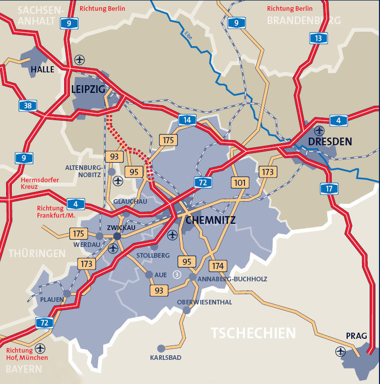
Location in Saxony
- total ground area insgesamt
- 10258
- settlement and transport area
- 4118
- buildings and open space
- 3229
- operating area:
- 608
- recreational area
- 391
- of which green area
- 86
- traffic area
- 971
- of which road, path, square
- 751
- agricultural area
- 4580
- forest area
- 1038
- water area
- 110
Source: State Statistical Office of the Free State of Saxony